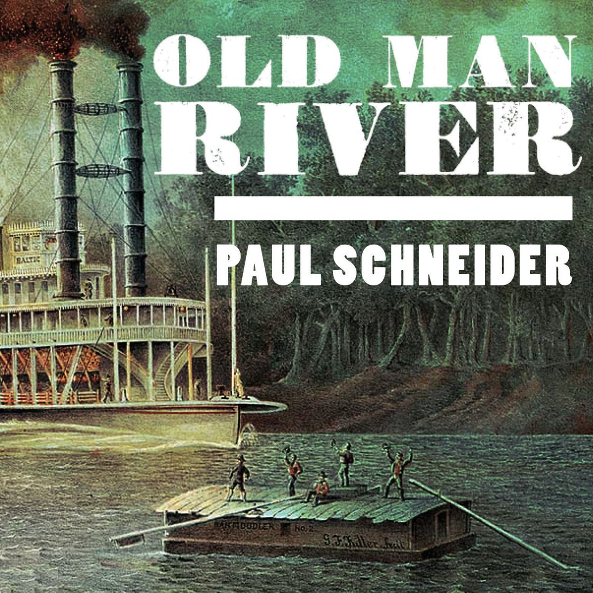
Calling all U.S. history buffs—Old Man River is an excellent compendium of the ways in which the basin of the Mississippi River pulled the development of our country. Divided into seven “books”, Schneider scans geography from prehistoric Lake Agassiz to the oil derricks that litter the mouth at the Gulf of Mexico. He covers animals from mastodons to Asian carp. He covers settlement from the Clovis and Folsom people to Corps of Engineers still struggling to control Mother Nature. This book is only 334 pages. It’s purpose is scope, not depth. There are extensive notes and bibliography.
The writing is brisk, combining historical bits with Schneider’s own kayak trip with his son on parts of the river. The basin includes the very beginnings of Mississippi in upstate New York and the Allegheny River, south to the Ohio, Kentucky, Tennessee and Yazoo. In the west, all the rivers from the Missouri and Yellowstone down to the Red River in Texas are covered as they merge into the Mississippi and drain into the Gulf of Mexico. Control of these tributaries meant control of commerce and survival for settlers. Our history is parsed into conquests of waterways: French, English and Spanish; Indian tribes, colonies, trading companies, farmers, ranchers, cities, and small towns. Until the development of the automobile in the 20th century and then the interstate highway system, river traffic moved U.S. production and trade.
Not a fan of pre-history, the first book seemed a slow read. But with the introduction of the Native Americans in the second book, the pages flew—a book I did not want to put down, nor to end.
Highly recommended for lovers of U.S. history.

